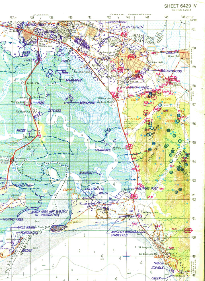

This map shows the area at the head of the Vung Tau peninsular and the town is Baria.....the hills are the Long Hai's...a really bad place to operate in which cost us many KIA and WIA simply due to M16 mines.
This is a portion of an incident map...the red "M" designates a mine incident with the number after it showing the year of the action.....ie: M9 would mean a mine had gone off there in 1969. The blue circles are sites for bunkers, caches etc, the cross through them means they have been hit with air or artillery. The small pale blue dots show the sites of old camps.